Smarter Asset Management in the Forestry Sector with SPOT Satellite Technology
Canada’s forestry sector is made up of a complex, interconnected network of forestry companies, cooperatives and supply chains that share a common goal – to simplify and build efficiencies into their operations. Since most forestry operations encompass remote regions without the availability of reliable cellular networks, ensuring seamless satellite-based communications between workers and assets is critical. Forward-thinking forestry companies and cooperatives are turning to SPOT for Business satellite solutions, including SPOT Trace and SPOT Mapping, and in the process are finding innovative new ways to operate.
Whether operations are focused on remote logging camps or on the transportation of assets between sites, SPOT Trace and SPOT Mapping services deliver an integrated, powerful set of management tools that is creating unexpected new areas of efficiencies, including back office solutions for contractor billing and scheduling, and asset tracking.
SPOT Mapping is a set of advanced navigation services available across all SPOT devices. It includes sharable maps, data storage, and a range of map displays, such as satellite, road and terrain options. It offers easy to set-up Geofencing to create virtual boundaries so managers can be alerted when these perimeters are crossed to better manage and track resources. With SPOT Mapping users also have the option to view maps in live or history mode, for tracking in real-time or to review previous trips or asset locations.
SPOT Trace is a small, ultra portable satellite-based tracking device that allows owners to track the movement of any asset – anywhere. Integrated with SPOT Mapping services, forestry operators can build new efficiencies into the asset tracking and management side of their operations. For example, with SPOT Trace, managers are using snap lines to optimize transport scheduling and route planning. This helps them identify and avoid traffic or bottlenecks as they map and schedule color-coded trucks along transportation routes. SPOT Trace can be used in live or historical mode, allowing managers to pinpoint the location of any truck within its transportation fleet in near real time. Using history mode, managers can review previous fleet trip reports along with detailed, time stamped maps showing way points and dwell locations. Automated data from the GeoFence feature reveals the amount of time spent outside or inside a particular cutting area, along roadways, or parked at the factory or mill.
Automated weekly reports or email summaries can be generated with details such as the time a truck entered a location to when it exited, along with the number of visits and average time spent in specific areas. This not only helps build efficiencies into future operations but validates contractor billing and verifies invoicing processes. In an industry where truck owners are paid by the delivery, identifying and removing operational inefficiencies like these can make or a break a business.
It’s a fact that the majority of forestry and logging operations today take place in areas that either include cellular dead zones or unreliable cellular networks. Added to this, is the increasingly complex network of workers, contractors and assets located across operations and up and down the supply chain. With SPOT satellite technology, there are innovative new ways to seamlessly connect people and assets, and improve operational efficiencies.
Equipped with SPOT Trace and integrated SPOT Mapping services, forestry companies and cooperatives have access to a proven and affordable, end-to-end solution for satellite-based asset management and visibility across their operations. This not only provides more informed decision-making based on the most current available data, but can help in the back office with assessing subcontractor performance, removing scheduling inefficiencies, reconciling accounts, and managing inventory of leased equipment for the duration of a project.
The good news for businesses operating in the forestry sector who are not yet using SPOT satellite solutions, is that more efficient and innovative operations are now well within reach. For more information on SPOT solutions for business visit SPOT For Business .
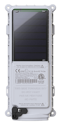 SmartOne Solar
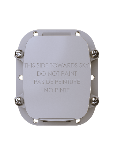 SmartOne C
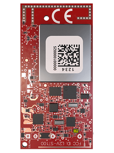 ST100
ST100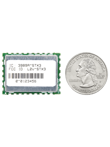 STX3
STX3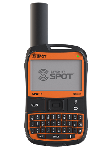 SPOT X
 SPOT Gen4
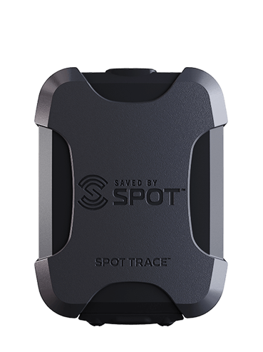 SPOT Trace