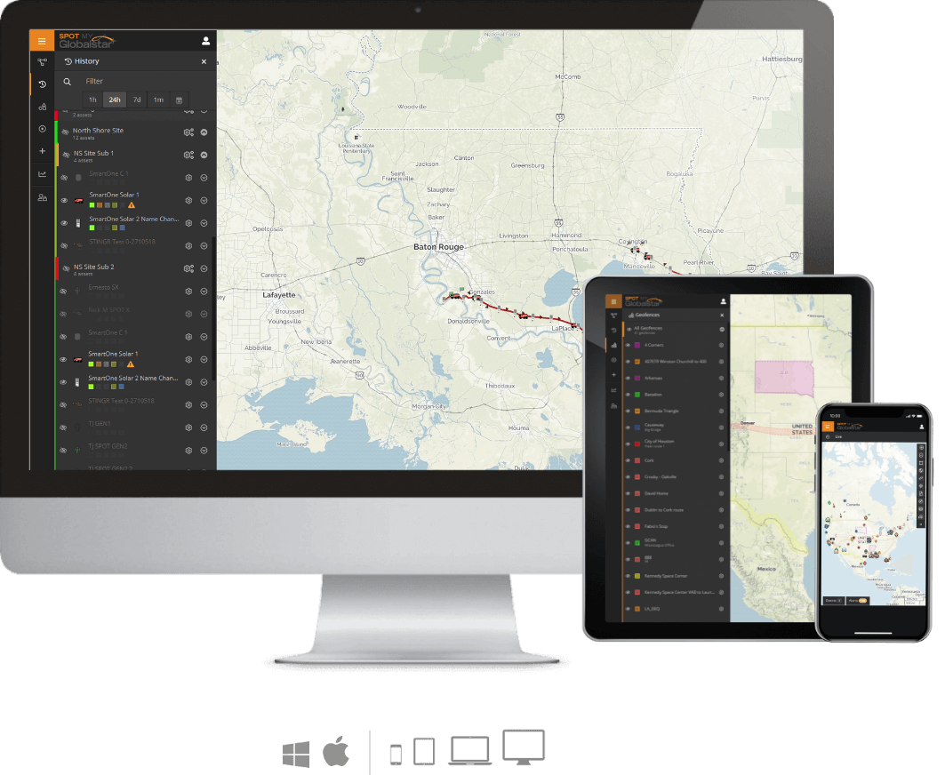
Data Management & Mapping Services
Commercial IoT Satellite Solutions provide automated monitoring and management at a glance with near real-time updates giving you visibility into an entire operation. Maintain and sustain operational efficiencies while strengthening and automating internal processes for continued business growth with the use of SPOT My Globalstar or SPOT Mapping services.Visibility for your Business
Overcome operational challenges with asset, resource and fleet oversight at a glance. Quickly see all your equipment and personnel on a user-friendly platform to meet your monitoring and management needs.
- Quickly determine where your assets and workforce are located, allowing for needs based and rapid deployment on scheduled and emergency basis
- Easily accommodates any size enterprise operation, view single to thousands of assets or fleets
- Keep up to date while you are on the go, works on any device with a web browser
- Customize groups of personnel and assets to monitor and manage your business using through a remote lens. Share maps with others, automate reporting for utilization, diagnostic or behavioral operational metrics
Assets, Places, & Geofences
Help ensure maximized resource allocation, worker safety and asset security with map configuration allowing businesses to set up mapping for their specific needs. Name assets and personnel by device type or icon for quick recognition on a map, mark designated or hazardous areas with a geofence and verify historic and live locations for accurate billing.
- Assign various shapes and colors to visually identify individual personnel or groups by role, certification or technical level for efficient resource allocation
- Reduce costs for lost or stolen heavy machinery, rental equipment and work tools by always knowing their locations
- Create Places specific to the locations your business operates
- Leverage data from triggered geofences for efficiencies in scheduling to provide updates on service tech arrival and departure, jobsite check-ins/outs and near real-time alerts for emergency scenarios such as entering prohibited or dangerous areas
Advanced Reporting
Take advantage of the reporting capabilities that provide valuable data and monitoring opportunities to make informed decisions that can save time, money and lives.
- Grouping can organize units per their operational requirements or based on country, city, state, job site, assets, vehicles, individuals, etc.
- Leverage data from enhanced mapping services to keep the entire team informed of resource and asset performance and activity
- Conveniently schedule automated live or historic reports with custom distribution options for additional analysis
- Utilize reports to establish threshold maintenance metrics to prevent machine failures in the field or on the road, analyze historic tank levels to help schedule fill or empty activity, deliver fleet management improvements and logging for compliance with government regulations
Supported Products
SPOT X
2-Way Satellite Messenger with Bluetooth® wireless technology
GSatSolar
Rugged, low-cost tracking device
SPOT Gen4
Global Satellite GPS Messenger
SPOT Trace
Satellite Tracking Device
SPOT Gen3
Satellite GPS Messenger
SmartOne Solar
Solar Powered Satellite Asset Tracker
SmartOne C
Satellite Asset Manager
Which Mapping Service Works for You?

A robust, tenant-based portal offering a comprehensive mapping platform for use with ALL and any combination of Globalstar and SPOT products.

Provides an option for SPOT only device users with convenient login directly through SPOT My Account. Available with Enterprise functionality as well as the economical Premium option.
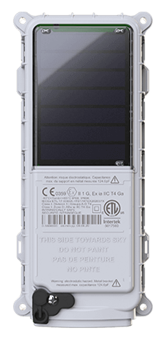 SmartOne Solar
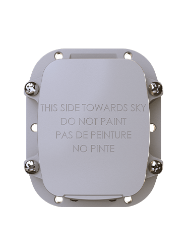 SmartOne C
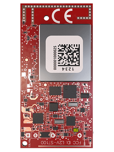 ST100
ST100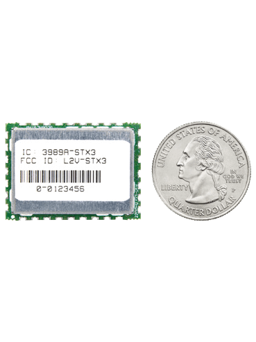 STX3
STX3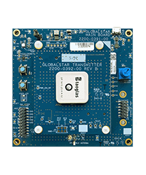 STX3 Dev Kit
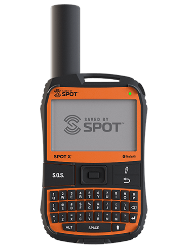 SPOT X
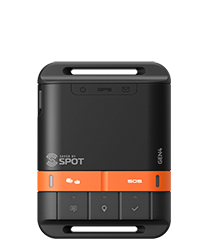 SPOT Gen4
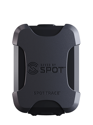 SPOT Trace