Surveying and Prospecting for Mining & Mineral Exploration Companies is Safer with SPOT
Profile of Shaun Parent, Superior Exploration Adventure and Climbing Co.
Shaun Parent is the owner-operator of Superior Exploration Adventure and Climbing Co. in Batchawana Bay, which is located in northern Ontario, Canada. With a background in geophysics, Shaun uses a proprietary software solution which was developed specifically for conducting VLF (very low frequency) electromagnetic surveys. Shaun provides surveying and prospecting applications as a consultant for mining and mineral exploration companies in Canada and around the world.
By the nature of his surveying and prospecting work, Shaun often finds himself working alone and in remote locations which are located well beyond the reach of cellular networks. To ensure safety and the ability to check in, and track his locations, Shaun has been using a SPOT GPS Satellite Messenger since the technology was first introduced.
“What I do is very unique. While other prospectors work in crews of 10 or 12, I work faster by myself,” says Shaun. The areas he works are remote and challenging to get to. “Typically I will drive to a site by truck, and then by snowmobile, and will run survey lines using a GPS device. I use my SPOT device for tracking my route, and to check in.” Although he is very experienced, SPOT gives Shaun “back up and safety”. “Plus throughout the day, mining operators will know exactly where I am. If I am in trouble I will press the help (SOS) button.”
Shaun is also well known in northern Ontario as an experienced rock and ice climber, and the pioneer of Rock and ice development in the Lake Superior Region of Ontario. He has authored and co authored 18 Rock and Ice Climbing Guidebooks, instructs and acts as a guide for outdoor adventurers and climbing enthusiasts of all skill levels. Although Shaun’s ice climbing gear is minimal, it includes SPOT so that he can check in and, in case of an accident, reach emergency services by transmitting an SOS message with his GPS coordinates.
“A couple of years ago, I fell forty feet off a cliff, in Ontario near Batchawana 4 kilometers from his truck. I had my SPOT but didn’t have my sat phone. I thought I might have broken my back. I sent an OK message, so that people knew where I was. I could have pushed the SOS button if it was more serious, but fortunately I was able to walk out.”
FAST FACT: CANADA’S LANDMASS INCLUDES APPROXIMATELY 8 MILLION SQUARE KILOMETERS THAT FALL OUTSIDE THE REACH OF CELLULAR NETWORKS.*
With operations located in some of the most harsh and remote areas of the country, companies in Canada’s natural resource sectors, including mining and mineral exploration, are facing growing pressure when it comes to providing reliable and affordable communications for lone workers in remote areas. This at a time when, arguably, the industry has never been under more scrutiny to fine tune operational efficiencies and deliver improvements to the bottom line.
While regulations vary provincially, addressing lone worker safety and check-in policies is a critical component to productive and efficient operations. For companies with field workers in remote areas beyond cellular, this presents a unique set of challenges.
5 WAYS SATELLITE TECHNOLOGY HELPS LONE WORKERS
- Enables check-in and communications, independent of cellular.
- Pinpoints the location of lone workers and remote crews with GPS accuracy.
- Workers can initiate response procedures depending on the type of signal sent.
- 24/7 emergency access at the push of a button.
- Ruggedized for use in challenging environments and conditions.
In the past, technology tools made it almost impossible for employers or emergency responders to quickly determine the location and needs of workers who missed a mandatory check-in, or were stranded or injured in a remote area. If communications were cut off with a remote worker, it was often the only option to initiate a search and rescue effort, with little to go on except the person’s last reported location.
Today there are easy-to-use and affordable satellite-based GPS communication technologies that address lone worker check-in and location reporting, as well as access to emergency responders when needed. The SPOT Satellite GPS Messenger enables employers (and remote workers) to minimize the risks, while providing accurate and consistent check-in reporting procedures, even when cellular networks are not available. With SPOT, operators can immediately grasp a lone worker’s location and status.
*Source: This stat was calculated based on the CRTC’s estimate that cell coverage extends to 20% of Canada and that Canada’s total land mass is 9.98 million sq. kilometres. CRTC report, section 5.5: “Wireless networks cover approximately 20% of Canada’s geographic land mass” https://crtc.gc.ca/eng/publications/reports/PolicyMonitoring/2014/cmr5.htm
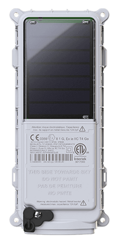 SmartOne Solar
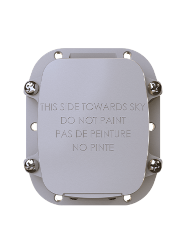 SmartOne C
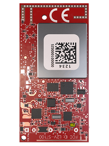 ST100
ST100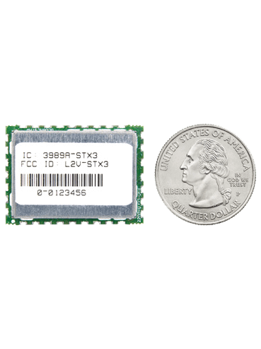 STX3
STX3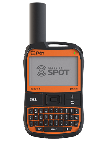 SPOT X
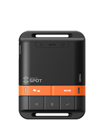 SPOT Gen4
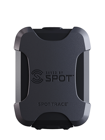 SPOT Trace