 SmartOne Solar
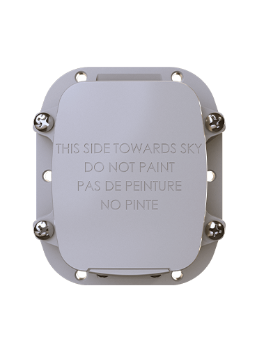 SmartOne C
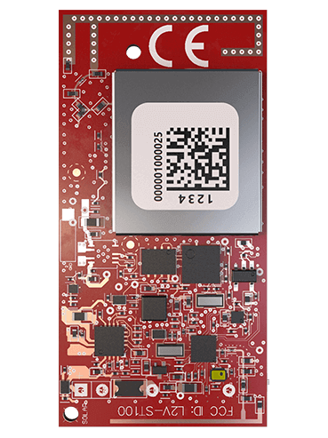 ST100
ST100 STX3
STX3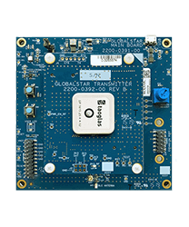 STX3 Dev Kit
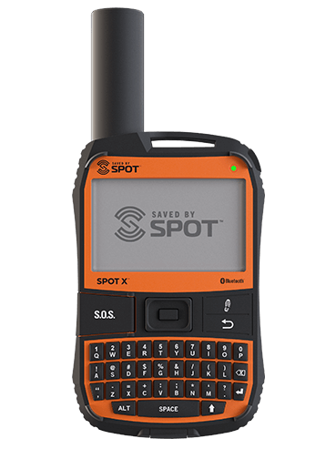 SPOT X
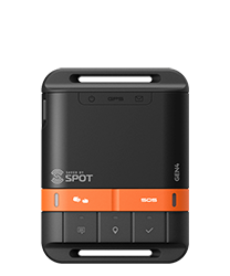 SPOT Gen4
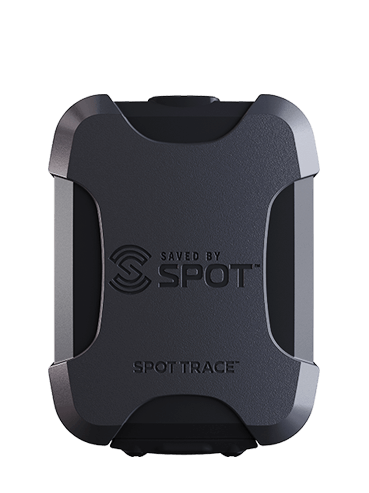 SPOT Trace
Tracking Assets from Oil Fields to Snow Fields
THE CHALLENGE
Business gets done every day and everywhere – not just downtown, but also beyond line of sight and outside the range of cellular coverage. From oil wells and snow-covered mountains to ranches spanning thousands of acres, businesses run on information. Their data may be as basic as where an asset is located. It may be confirmation that a remote machine is doing its job.
That’s why remote asset tracking and monitoring by cellular, LoRa and satellite have become a growth industry. The need is met by companies with expertise in industries from energy and utilities to agriculture and leisure. But they have a few things in common. Faced with a jumble of cellular carriers and data plans, they struggle to make things simple for their customers. They are also under constant pressure to provide the data their customers need at a price that makes sense.
THE SOLUTION
Lonestar Tracking is a Texas-based company founded in 2016 to deliver IoT services to the oil and gas industry. Its founders had worked in the business and knew its needs: to track costly, complex equipment going to remote regions anywhere in the world, collect data from it and send that data in real time to Houston or another energy capital for processing. They also knew their former colleagues didn’t want or need to understand the technology: they wanted to pick devices, receive and activate them and have them work right out of the box.
Modular Solution
To provide the IoT connectivity the energy business needed, Lonestar chose the ST100 satcom module from Globalstar. “We absolutely love that board,” says cofounder and CTO Thomas Remmert. The self-contained transmitter and modem add low-cost satellite connectivity to any OEM product. The ST100 features an ultra-light, compact design that includes GPS, an accelerometer, Nordic processor and Bluetooth connectivity. Without external antenna, it connects to the Globalstar low-Earth orbit satellite network and, through more than 20 ground stations, to Globalstar’s processing system, which prepares the data and forwards it to Lonestar in real time.
Keeping the Slopes Covered
Serving oil and gas, however, was only the beginning for Lonestar. The company also uncovered a niche serving ski resorts, where snow-making equipment is increasingly called upon to make up for shortages in the snow that nature provides for free. It is a big operation, with machines scattered across multiple slopes on mountain sides and enormous amounts of piping to supply them with water. With so much of the operation out of sight, resorts depend on IoT data to know if a machine is operating, if it is generating snow, and what the water supply and flow rates are. Beyond making snow, resorts operate vehicles, snowmobiles and other mobile equipment that vanish from sight behind tree cover and they need remote tracking to coordinate operations productively.
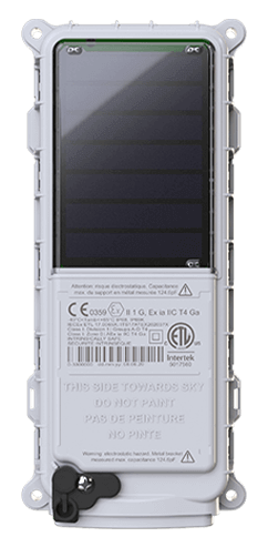
Globalstar’s SmartOne devices fill the gaps where a rugged landscape makes cell service and LoRA connectivity unreliable. The SmartOne Solar is powered by sunlight and certified Intrinsically Safe for hazardous environments. Virtually maintenance free with up to 10 years of usable service, it provides GPS location and inputs for sensors. The SmartOne C is a small, easy-to-mount unit that is the market’s most affordable and feature-rich tracker, powered either by batteries or line power. Lonestar integrates the data stream they provide directly into the applications that resorts use to manage their operations. It enables geofencing that triggers alerts when vehicles or equipment are moving into areas marked as hazardous – even triggering an audio call to handheld radios to warn drivers. And when search-and-rescue teams head into the mountains, the data stream can make the difference between life and death for those lost in the snowfields.
From the Ranch to the Sea
The SmartOne C is also working for Lonestar Tracking on the ranch. Integrated into collars worn by guardian dogs, it reliably reports the location of the sheep or goats they herd across ranchland that may extend over 50,000 to 300,000 acres. The savings in time and labor are substantial, and the greater ability to locate herds translates over time into greater safety and health for animals and people alike.
The SmartOne Solar also goes to sea. Oceanographers deploy buoys offshore equipped with hydrophones to listen and record underwater sounds, as part of research into how human-made noise affects whales and other wildlife. The buoys need frequent retrieval to download the recordings and the SmartOne Solar turns sunlight into GPS data feeds that guide the researchers to them. Other scientists are tracking currents, winds and water conditions, and the SmartOne Solar reports on the current position of those drifting buoys and makes them easy to find when it’s time to download the full data set.
Why Globalstar?
Why was Globalstar technology the right choice for Lonestar Tracking? “Performance for price,” says Thomas Remmert. “We didn’t need a continuous stream of data. We didn’t need two-way communications or coverage at the poles. When we stripped away those requirements, Globalstar was the most cost-effective solution, without sacrificing anything we did need. The technology and service worked the way it was supposed to, and they opened up a host of opportunities we couldn’t get from the other players in the market.” IoT connectivity has been on a downward cost curve for a decade, Remmert adds. “A lot of today’s new satellite IoT technologies sound promising – but when you’re talking real value, it’s about IoT connectivity from a device that works in the back of a metal FedEx truck. That’s Globalstar.”

Article By:
Globalstar
Globalstar